|
|
Post by skuuter on Nov 5, 2009 12:58:22 GMT -5
BAD to the BONE...cut Your teeth on this, and The Dragon is a Sunday Mornin' Cruise.....     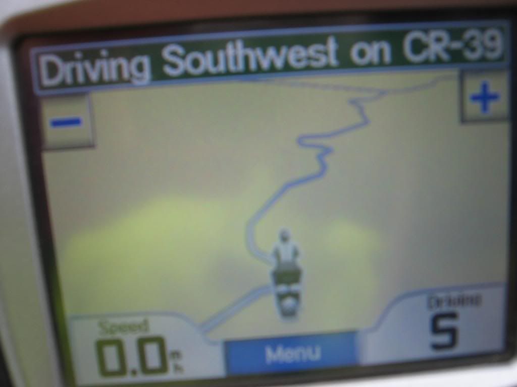    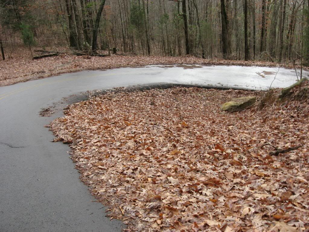         Rally Finish line...notice the curve leading to it..."Typical Crow Mountain"..... Rally Finish line...notice the curve leading to it..."Typical Crow Mountain".....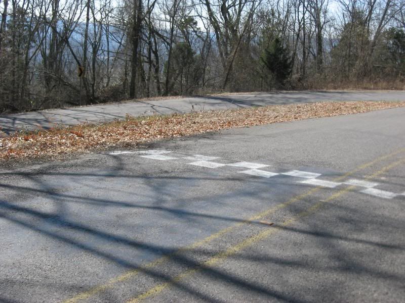 "Guardrails...... "Guardrails......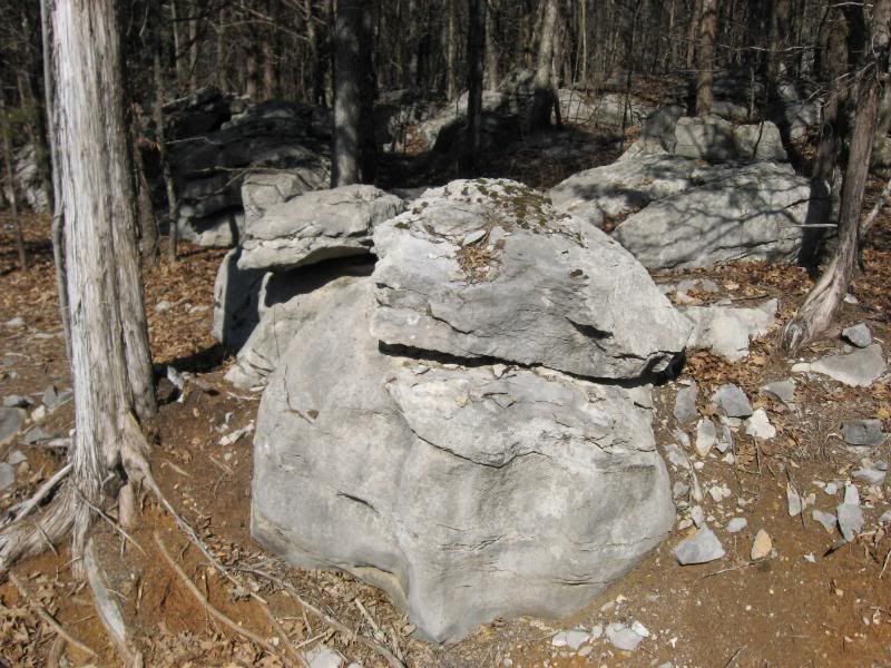 Your "REWARD" for surviving it..... Your "REWARD" for surviving it.....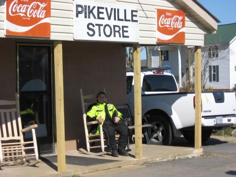 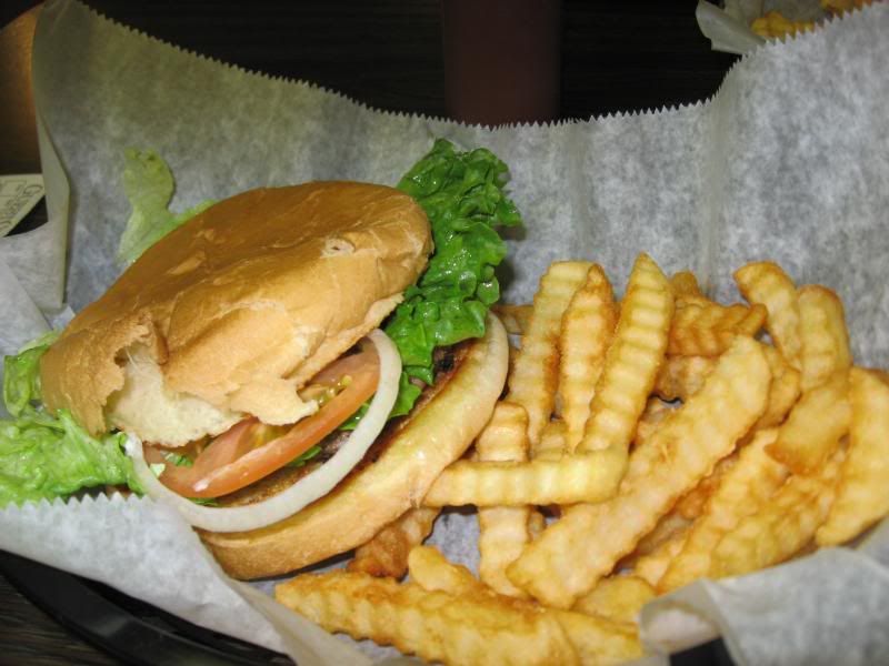   "Knarly", and Pics don't do it justice..... ;D ;D ;D "Knarly", and Pics don't do it justice..... ;D ;D ;D
|
|
|
|
Post by Kami no Chiizu on Nov 5, 2009 14:31:23 GMT -5
This isn't another one of your curvy roads with light traffic so there's crap in the road to slide on is it?!   |
|
|
|
Post by BlueRidgeRuckůs on Nov 5, 2009 15:44:18 GMT -5
ahaha.. i was thinking the same thing.. i rem seeing the video... the road is aight.. i saw it on google map.. using there photo and u can trace the road.. and i saw it on this site.. www.crowmountainhillclimb.org/there are tons of curvy roads up in the mtns that look far worse then this.. its cool that they block it off and allow them to race up there.. now the food on the otherhand looks good.. cause im hungry.. nothing to eat at work..  what kind of temps do you guys get there in middle of Tenn? |
|
|
|
Post by skuuter on Nov 5, 2009 16:22:07 GMT -5
Temps here usually run about 5 to 10 degrees warmer than Townsend year round, with much warmer nights.... ;D....I've ridden about all of the roads over the last 40 years in Tn, NC, SC, Ga, Al......heven't really been on anything much worse than the 39 side of Crow Mountain (33 is the main side), and the Alto Side of Monteagle Mountain. Both were repaved last year, makin' em' less treacherous, but both are pretty much, changin' radiuses, off-cambers, fast elevation gains (most motorcycles and cars bottom out on the humps in the middle of the more than 90 degree turns because of the quick step up encountered on the elevation gains), tall shoulder drop offs, super narrow, Large trees and rocks close to the road. Our Ninjas, and my Triumph Speed Triple, VFR, Gold Wing drug the road underneath, unless we went out in the wrong lane in the blind curves (not a Good idea)...my Versys was the only bike I've owned, and the Ruckus (touched on one uphill), that would clear the road. CR-39 on Crow mountain was originally just a logging trail through the Woods, and They paved it.....Alto Road on Monteagle Mountain was cut in the Civil War through the woods to move Cannons to fortify the Kirbie Smith House (Still There)..... ;D Coupla' Coal Mining Roads in Kentucky, and one in Virginia were close........ |
|
|
|
Post by scooterbill on Nov 5, 2009 16:46:57 GMT -5
It really does look like they went off roadin with the paver!!!
That also looks like it would be sick on a scooter!!!
|
|
|
|
Post by skuuter on Nov 5, 2009 20:14:05 GMT -5
It really does look like they went off roadin with the paver!!! That also looks like it would be sick on a scooter!!! YEP, a lota' FUN, but VERY technical........ ;D |
|


